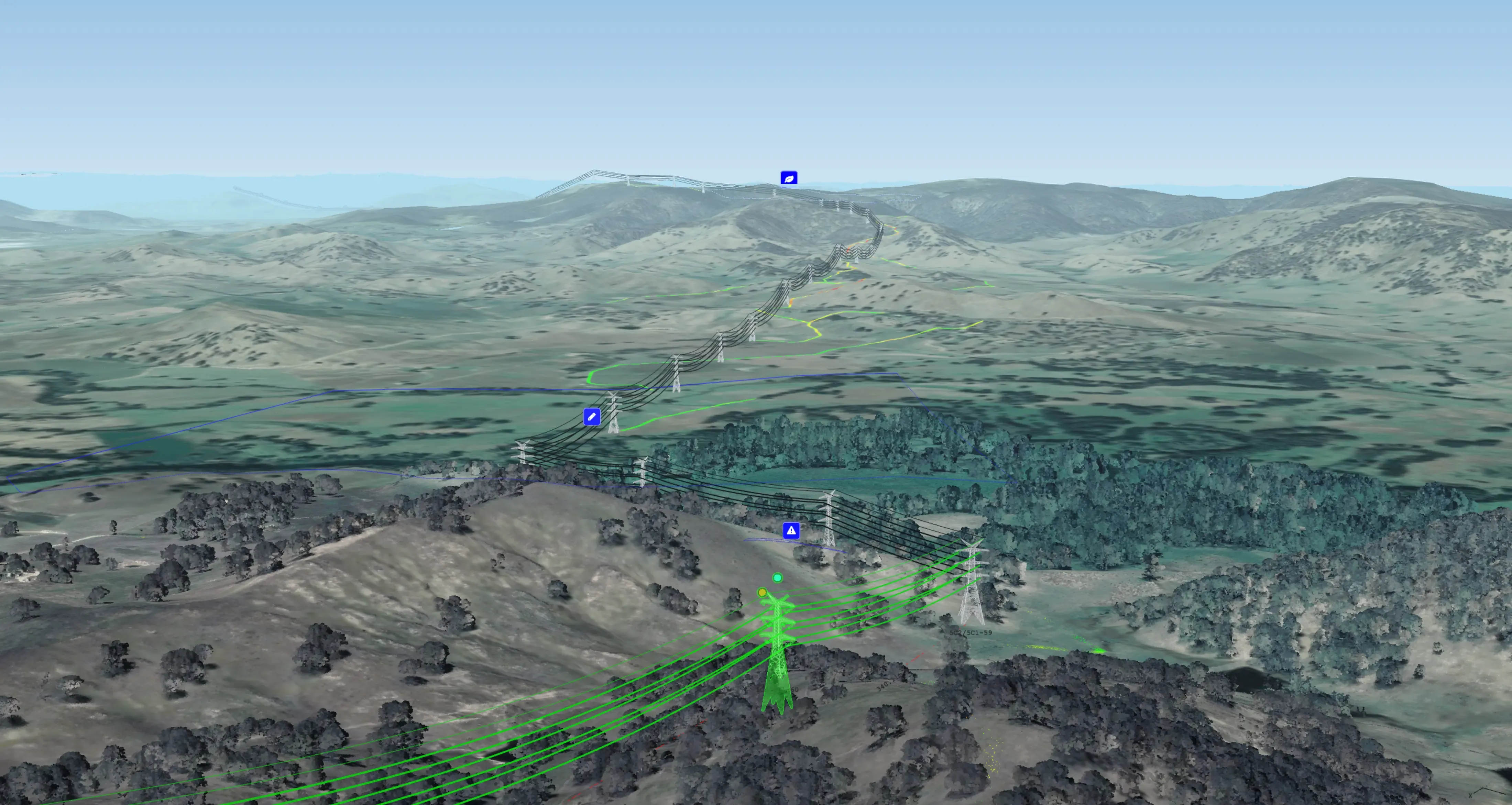
LiDAR & GIS Reconciliation
Combine accurately classified LiDAR with your GIS records to build a pinpoint-accurate network model. Keep the record straight and ensure your operations run on a foundation of physical truth.
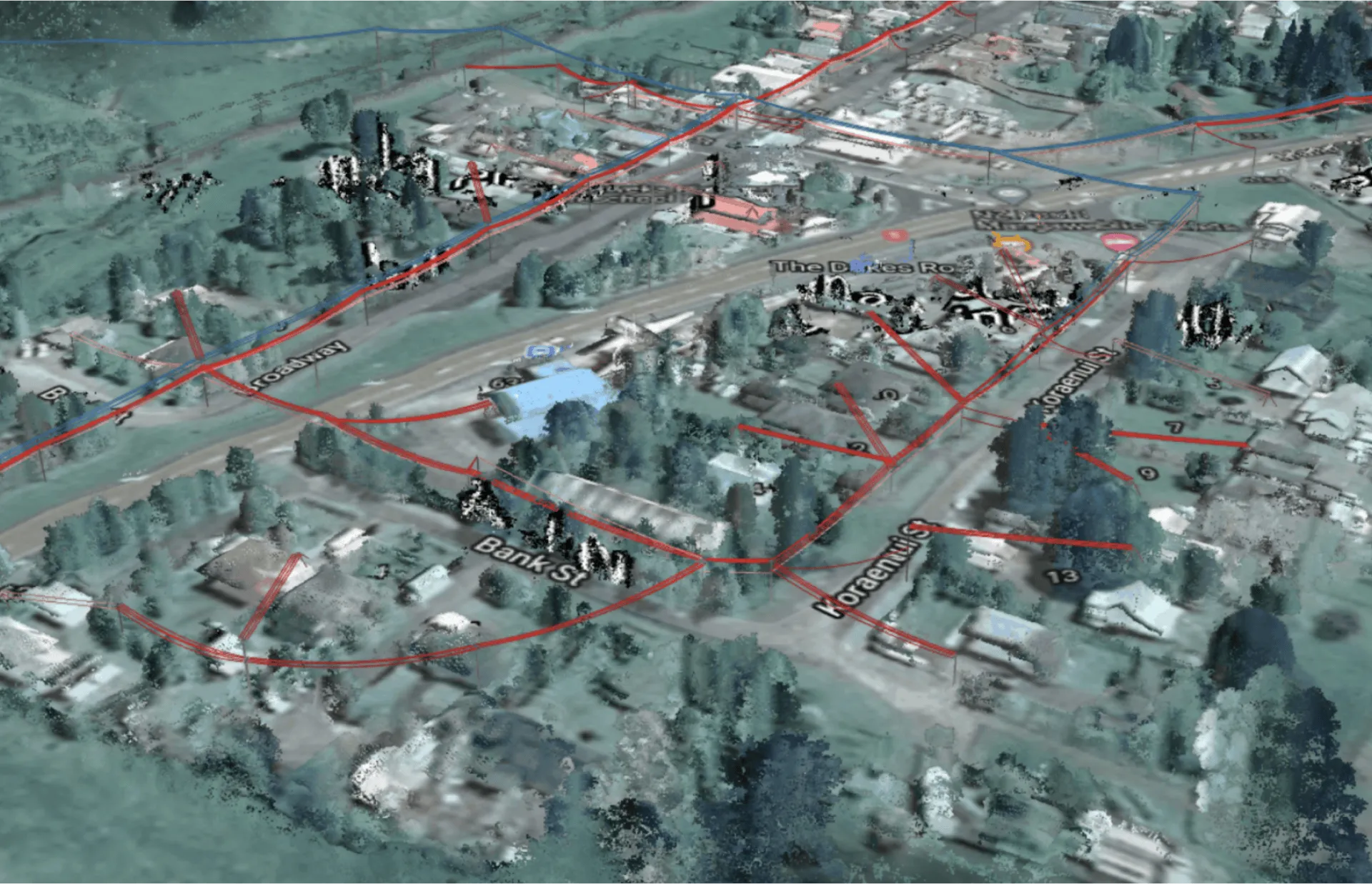
Your operations are only as strong as the data you rely on. Combining accurately classified LiDAR with your GIS generates a powerfully accurate network model. You can confidently navigate life-saving decisions and major grid hardening investments across every corner of your network. This high-fidelity foundation ensures that your digital twin reflects the real-world state of your infrastructure.
- Use LiDAR to identify and resolve GIS discrepancies to find the best pathways to resilience.
- Diagnose standard compliance issues remotely without relying on outdated paper records.
- Reduce faults with data-driven decision-making across the entirety of your network.
A blueprint to inform your most important decisions
Save your effort for managing real-life risks instead of correcting data issues.
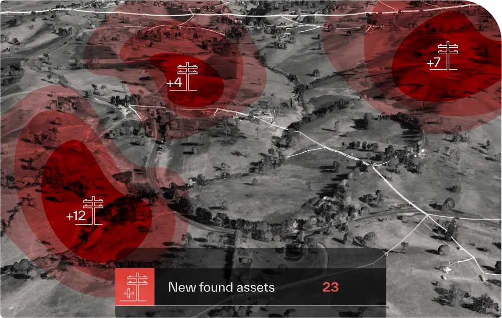
- Identify and catalog unknown assets with a topological fit function.
- Model asset distribution, proximity to topological variables, and asset type and purpose.
- Maintain control over your network and avoid at-fault assertions during audits.
- Turn a fragmented system of record into a traceable record of accountability.
A single source of truth to direct your operations
Remove unnecessary friction and keep your GIS records up to date automatically.
- Sanity-check your GIS against high-quality LiDAR scans and satellite imagery.
- Avoid the wasted time and cost of sending field crews to incorrect GPS coordinates.
- Replace paper processes with a clean, consistent source of truth.
- Keep office and field teams working from the same physical data.
Reconcile discrepancies at scale
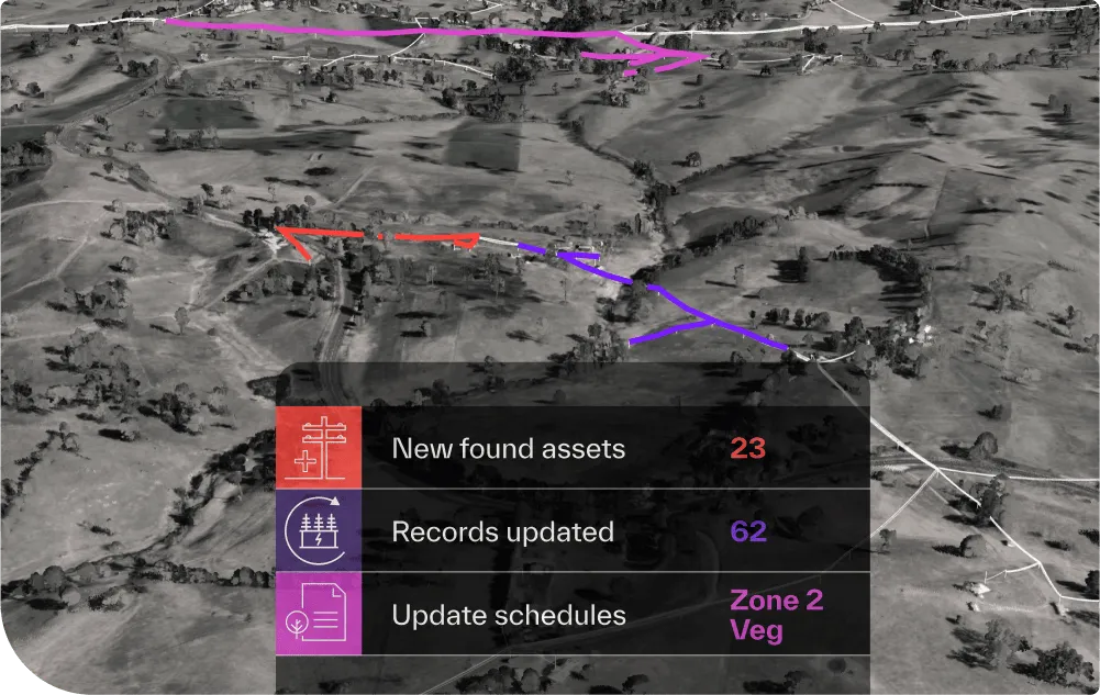
Transition from manual data entry to an automated, physics-based reconciliation workflow.
- Align LiDAR and GIS records into a foundation that stands up to regulatory scrutiny.
- Identify where your physical network differs from your digital database before gaps become liabilities.
- Start every project with an accurate baseline, from routine maintenance to major rebuilds.
- Back every decision with verifiable physics to protect your professional standing.