
Browse topics and content types below or search our library to find the resources you need.

Demo Videos

Neara Explainer Video
See how utilities use a physics-enabled digital twin to move beyond visualization and make better decisions by connecting asset data, operational risk, and capital planning.
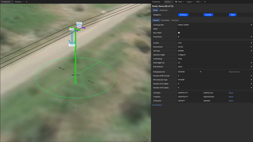
How can you speed up design work by using rules, standards, and component libraries to automatically create a viable first draft?
Design teams are under constant pressure to deliver more line designs with the same or fewer resources, but today’s workflows are still heavily manual and spread across too many tools. . Auto-Design creates a standards-compliant first draft in minutes so engineers can focus on refinement instead of building from scratch.

What does the next generation of digital twins look like?
This video walks through how the next generation of digital twins, including the physics-enabled digital twin, delivers asset-level accuracy, feeds insight up and downstream across organizational layers, and strengthens decision-making from daily operations to long-term planning and strategy.
Thought Leadership
The Risk-Readiness Gap: What’s holding utilities back from risk-based resilience?
With more data, tools, and visibility, utilities are closer than ever to making risk-informed decisions at network scale. But there’s still a disconnect between what utilities could achieve with their data and what current systems support.
Capital Brief: Data centres must avoid the mistakes of the energy transition
Data centres are set to power Australia’s economic future, but opaque planning and old habits risk repeating old errors.

Fortune: Top climate tech exec: The AC gap between Europe and America is becoming an economic liability
Is Europe’s lack of AC a growing economic liability? Taco Engelaar, SVP and Managing Director at Neara, unpacks in Fortune why air conditioning isn’t the quick fix it seems, exploring how grid constraints could stall Europe’s response to rising heat, and how physics-enabled digital twin tech could unlock smarter, more resilient planning.
Guides
What does the next generation of digital twins look like?
This video walks through how the next generation of digital twins, including the physics-enabled digital twin, delivers asset-level accuracy, feeds insight up and downstream across organizational layers, and strengthens decision-making from daily operations to long-term planning and strategy.
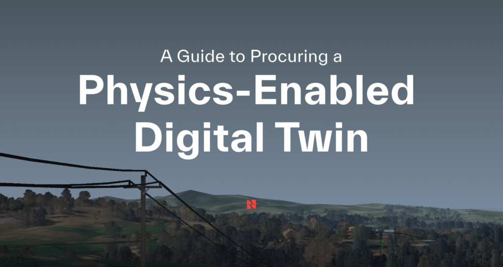
A Guide to Procuring a Physics-Enabled Digital Twin
This guide is designed to help utility leaders create an effective RFP to source a physics-enabled digital twin.
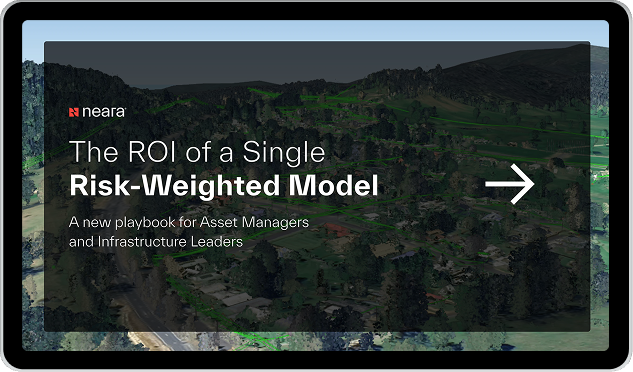
The ROI of a Single Risk-Weighted Model
A new playbook for asset managers and infrastructure leaders to rethink how you align risk, cost, and performance in a single view.
Case Studies
How risk prioritization is reducing SAIDI by 8%
How to deliver PLA 20× faster & expand network coverage
How Empact conducts per-pole loading analysis 3x faster
Press
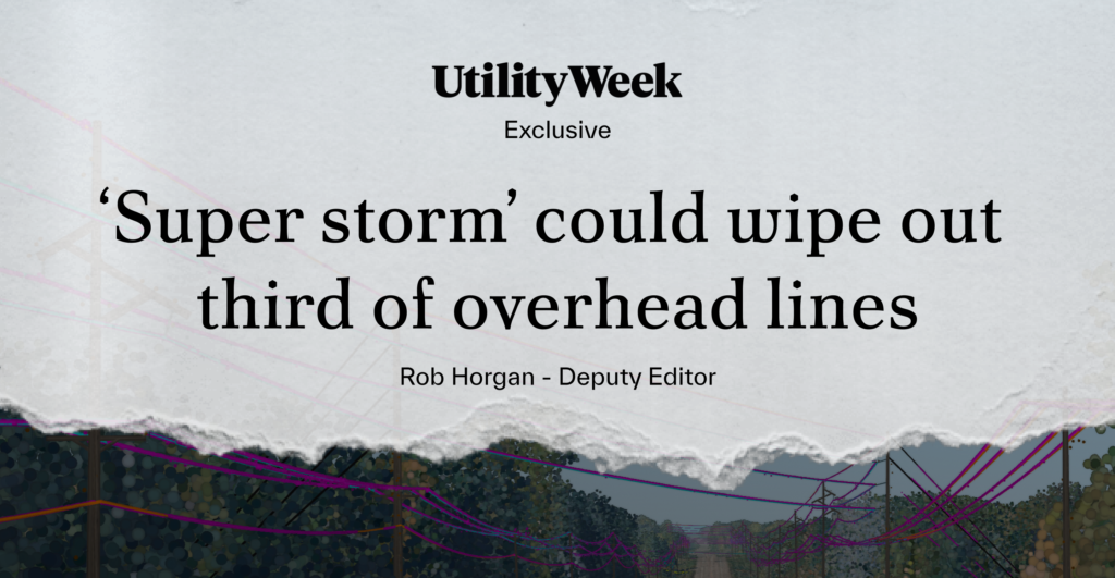
‘Super storm’ could wipe out third of overhead lines
New physics-enabled digital modelling of the UK’s energy grid reveals the scale of network vulnerability to increasingly severe ‘super storms,’ with over 3.5 million people currently at risk of outages, and millions more likely to experience disruption in the coming years. This comes as regulatory focus intensifies on high‑impact, low‑probability weather events, with Ofgem issuing new ED3 guidance for utilities on climate‑resilience stress testing.
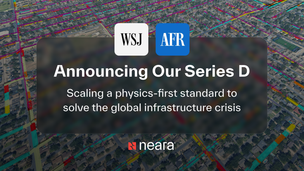

Neara raises $90 million to solve the global infrastructure crisis with AI
Neara announced it has closed an AUD 90 million Series D funding round to accelerate its focus on solving global infrastructure challenges.
UtilityWeek: Majority of UK’s energy networks are ‘under-utilised’
Utility Week covered one of the most significant challenges facing utilities in the UK and Ireland today: enhancing grid capacity to meet rising energy demand. While some new infrastructure is needed to achieve this, the cost and time required to deliver it remain a major obstacle.