Protecting Hawaii from Wildfires
Building a Safer,
Resilient Energy Future Together
Building a Safer,
Resilient Energy Future Together
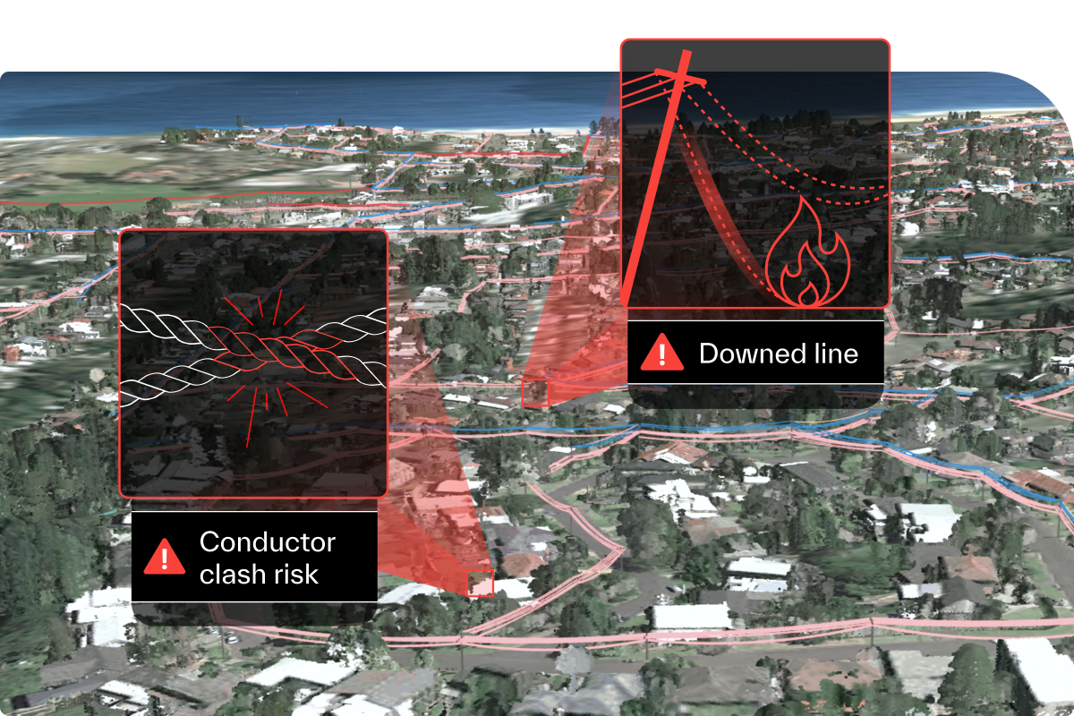
From Lahaina to Honolulu, model all 5,815 square miles of your network with pinpoint accuracy, giving you full control and visibility so that no risk falls through the cracks. Seeing your whole-network means crystal-clear risk prioritization so you won’t get caught off guard.
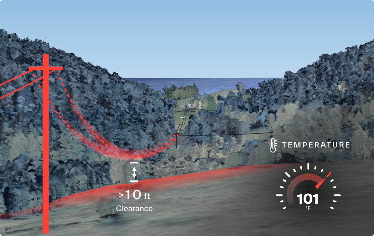
Precise modeling captures every slight change in elevation geometry and soil density across Hawaii’s diverse landscape, ensuring every clearance measurement and equipment assessment is right on target. What happens if wind speeds keep picking up while humidity levels fall? Make sure you’re ready to solve today’s risks and you're ready for what's to come.
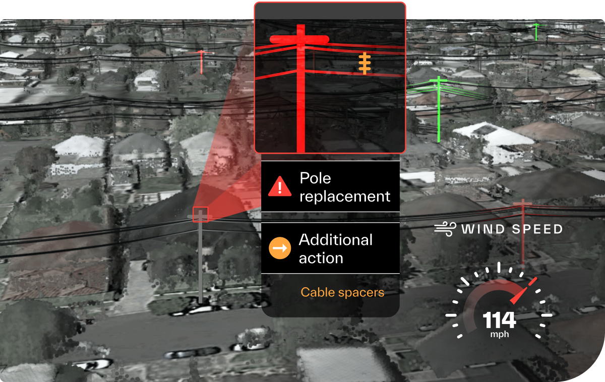
Connect the dots providing data-driven insights to facilitate strategic planning, helping you make proactive decisions to prevent issues. Equipping you with information to make informed choices for a safer, more resilient energy future, ensuring that hazards are kept at bay.




By monitoring water and clearance levels daily, SA Power Networks was able to leave power on for longer as floodwaters rose and restore power more quickly as water receded. This innovative approach, based on digital insights, allowed for the re-energisation of power lines within five days, compared with the originally anticipated three-week timeframe using traditional manual methods.

Discover our Wildfire Management Playbook for detailed insights and innovative solutions.